
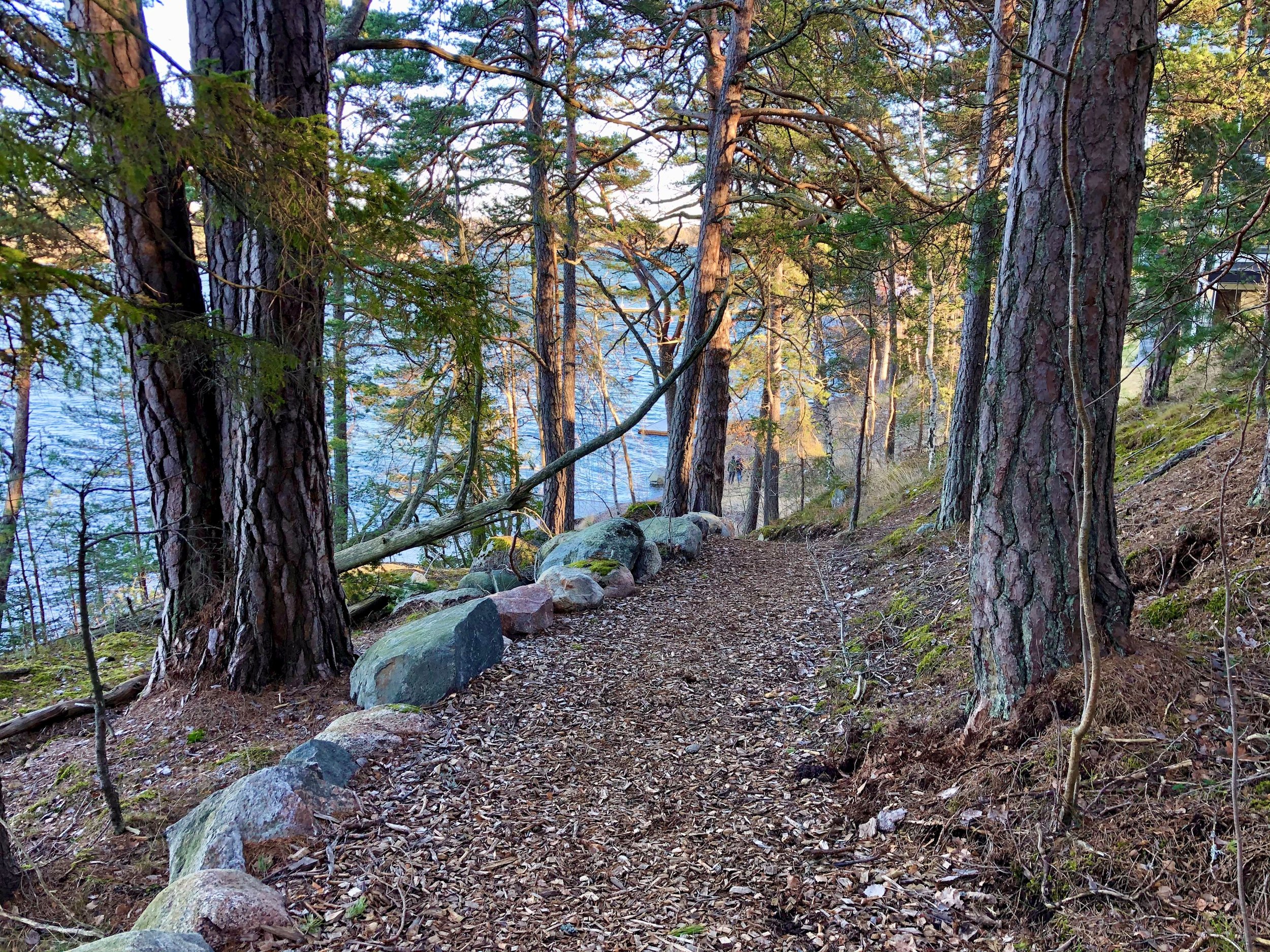
Hiking on the islands of Vaxholm
On the islands of Vaxholm there are many beautiful hiking trails of different lengths. Here are some tips on trails to explore. Put on your backpack and follow them, with or without a guide.
Bogesund nature reserve
In Bogesundslandet you can hike on miles of paths along beaches, broadleaf forests and oak hills to places with traces of the time when the Vikings Gunne and Åsa lived here. Here are some of the hiking trails you can choose from.
-

Blue Leden
The Blue Trail is the longest of our trails. At 35 km, including 12 km in Bogesund Nature Reserve, it stretches all the way from the quay in Vaxholm to Domaruddens friluftsgård in Österåker municipality. Despite its length, the Blue Trail is also ideal for shorter hikes. For long-distance hikers, there are links to the Roslagsleden trail in two places. Along the trail there are also a number of shelters that are perfect for coffee breaks.
-

Tenö jogging track 2.5 and 5 km
The actual starting point for the Tenö exercise trail is at Tenö lada where it is also possible to park your car. But if you are hiking from Vaxholm, you can instead choose to turn left immediately after crossing the Pålsund Bridge to join the trails. Follow the red markings if you want to follow the 2.5 km round, or the yellow if you want to walk the 5 km trail. Both trails pass Tenöbadet if you want to take a dip. There is also a restaurant Bryggan på Tenö.
-

Big and Little Castle Round 8 and 3 km
Stora Slottsrundan starts from Bogesund Castle and is an orange-marked trail of 8.5 km. you walk through beautiful deciduous forest and beach edges and also pass Vaxholm's golf course. Along the way there are several cultural monuments are marked. If you don't want to hike as far, you can choose Lilla Slottsrundan instead. It also starts from Bogesund Castle. Lilla Slottsrundan is 3 km and has red markings.
-

The round of the Nässeldal
Nässeldalsrundan is a 5.5 km hike on a narrow path in hilly terrain. The trail takes you through forest, along the lake and sea and past Dammstakärret, a Natura 2000 area with rich biodiversity. The best place to park is south of Dammstakärret, near Broknäs farm. If you go by bus, the nearest bus stop is Ekevägen.
-

Dammstakärr round
Dammstakärrsrundan takes you past Dammstakärret, a protected area with rich biodiversity. The trail is 10.8 km through easy to moderately difficult terrain with varied hilly terrain. It is easy to get around on foot or by bike. Along the trail there are several places where you can enjoy your packed lunch. If you come by car, there are several parking lots adjacent to the trail. You can also take the SL bus 681 to the stops Ekevägen, Nibble or Ladvik.
-

The Frösvik round
Frösviksrundan is a 7.1 km long red-marked hiking trail, in easy to moderately difficult terrain. Along the trail you pass Kvarnberget, where the view extends far across the bay, and Lindskogen with 300-year-old lime trees that are among the largest in the county. You will also pass Tegelbrukshagen, where clay was collected for brick making until the early 19th century. The easiest way to reach the trail is from the rest area northeast of Frösvik.
-

The Little Ladvik Round
Ladviksrundan is a 4.1 km long hiking trail with green markings in easy terrain. Large parts of the trail run along Skåvsjöholmssundet. There is a rest area with a shelter and barbecue area located near the water. You can reach Lilla Ladviksrundan either from the parking lots at Nibble or south of Ladvik. If you take bus 670, the nearest bus stop is Nibble or Ladvik.
-

The Askrika Round
Askrikerundan is a red-marked trail of about 6 km in easy terrain that is good to get around both on foot and by bike. Along the trail there is a rest area at Knäviken. If you come by car, you park most easily at Ellboda parking, where the trail also starts. Ellboda also has a bus stop for SL line 681 if you want to take the bus.
-

The large numbers round
Stortallsrundan is a 9.9 km long hiking trail, with easy to moderate terrain and varied nature. During the walk you will pass the remains of the more than 350-year-old Stortallen, Bogesundslandet's largest pine, which gave its name to the trail. The trail also passes Västerhaga lighthouse with beautiful views of Askrikefjärden. There is a barbecue and picnic area with a shelter. You can reach the trail by car, which you can park north of Österhaga or northeast of Frösvik.
Hiking on other islands
Vaxön
-
Strömmingsrundan, 5 km or 10 km
Strömmingsrundan through the city and nature of Vaxön offers distances of 5 km and 10 km. The route is based on the two stretches of the Strömmingsloppet, but you can get on and off wherever you want. On the 5 km round, you can also bring your bike, stroller or wheelchair.
-

Eriksö jogging track, 2 km
A 2-kilometer-long scenic trail that runs along the water in the Eriksö recreation area in the northwestern part of Vaxholm. The trail is electrically lit from morning until 23.00 in the evening. Parking is available adjacent to the track. There are also toilets and showers during the period of the year when the campsite is open.
Kullö and Rindö
-
Kullö nature reserve
The western part of Kullön has been a nature reserve since 2005. It covers an area of 27 hectares where you will find many different environments and many species, including two red-listed species. Here you can hike through the reserve, barbecue at the barbecue areas or take a dip. Just remember to always close all the gates behind you to prevent the sheep from escaping.
-

Rindö electric light trail
Rindö electric light trail is located on eastern Rindö and is electrically lit with twilight relay, from morning to 22.00 in the evening. You will find loops of 1.2 km, 2.7 km and 4.4 km.